Aersol
DJI Mavic 3 Multispectral M3M With Enterprise Care Basic 1 Year
DJI Mavic 3 Multispectral M3M With Enterprise Care Basic 1 Year
Couldn't load pickup availability
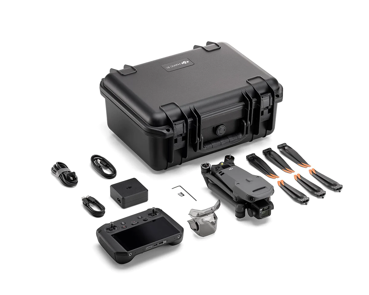
In The Box
- DJI Mavic 3M Aircraft with RTK Module & SD Card x1
- Battery x1
- Enterprise Care Basic 1 Year x1
- Remote Controller x1
- Propeller Pair x3
- Charger x1
- Carrying Case x1
- USB-C to USB-C Cable x 1
- Power Cable x1
- USB-C Cable x1
- Screwdriver x1
- Manuals
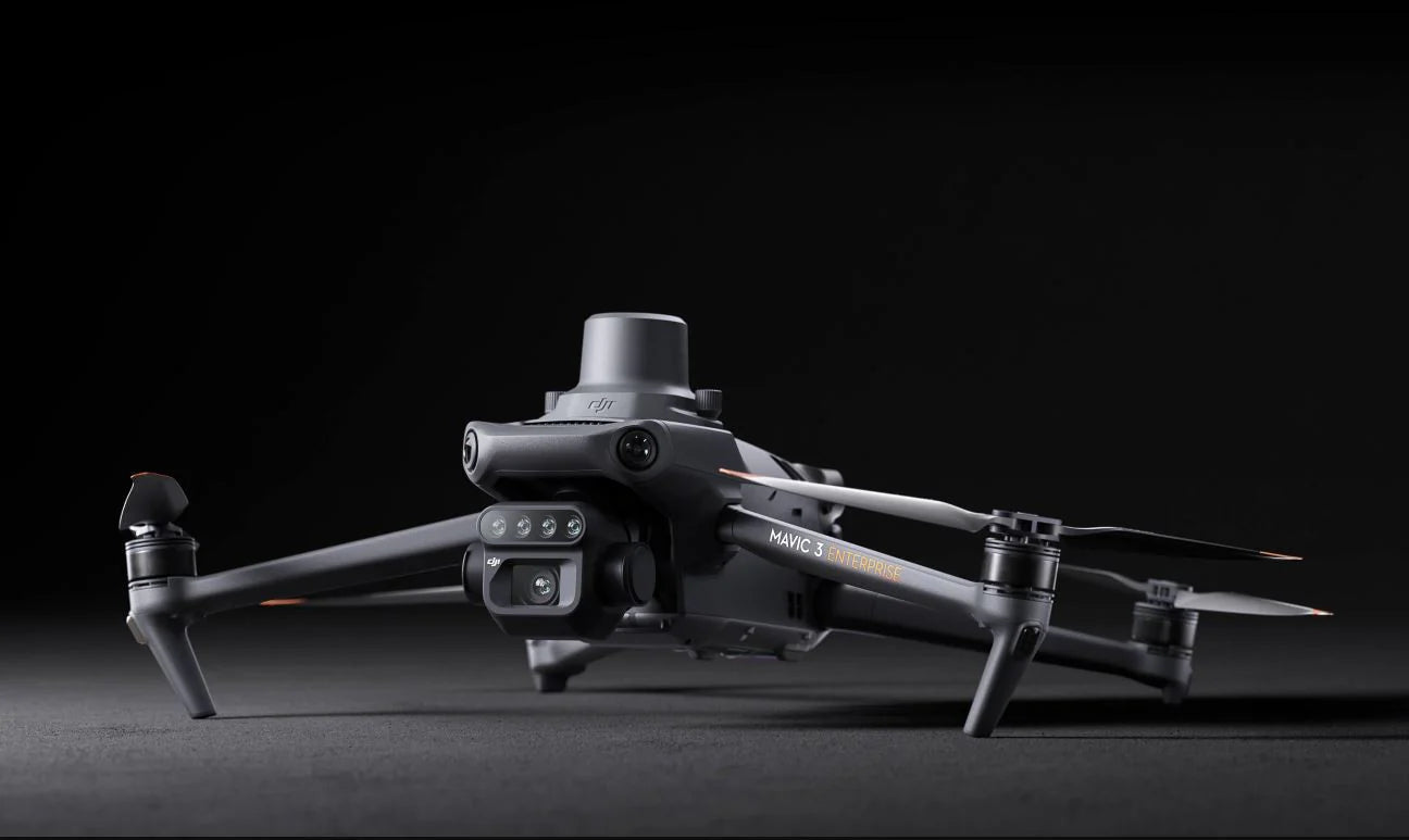
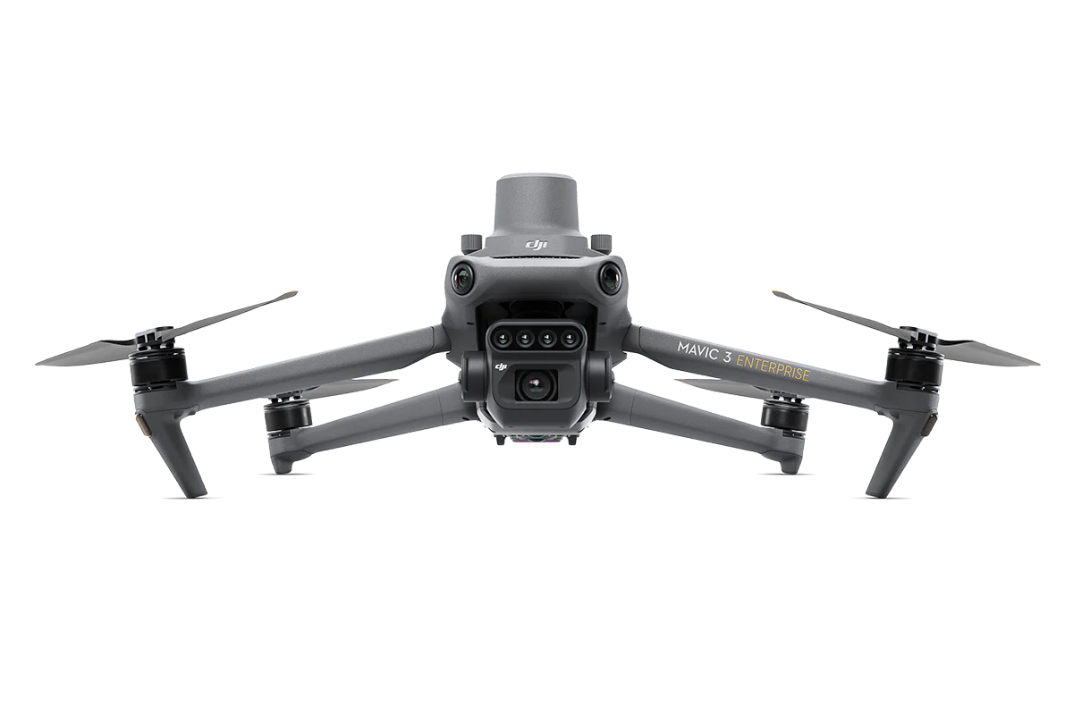
Effective aerial surveying needs to see the invisible. That's why Mavic 3 Multispectral has two forms of sight. It combines an RGB camera with a multispectral camera to scan and analyze crop growth with total clarity. Agricultural production management requires precision and data, and Mavic 3M delivers both.
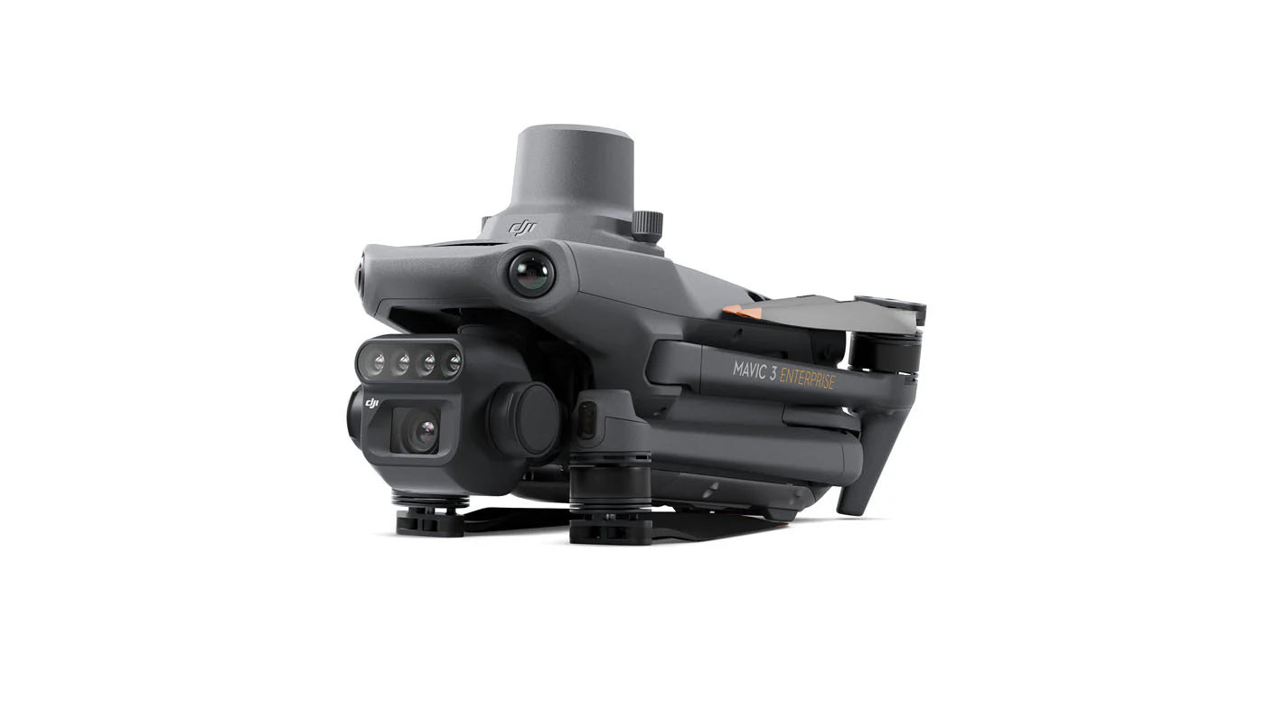
Multispectral + RBG imaging system
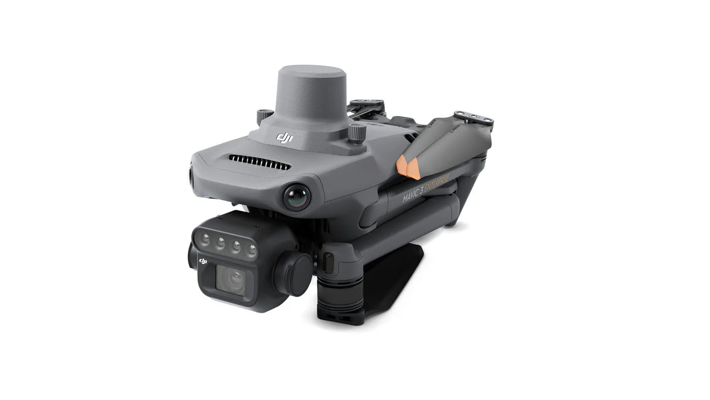
Highly integrated imaging system
Newly upgraded imaging system with one 20MP RGB camera and four 5MP multispectral cameras (green, red, red edge, and near infrared). Enables applications such as high-precision aerial surveying, crop growth monitoring, and natural resource surveys.
5MP Multispectral Camera
Near-infrared (NIR) 860 nm ± 26 nm
Red edge (RE) 730 nm ± 16 nm
Red (R) 650 nm ± 16 nm
Green (G) 560 nm ± 16 nm
RGB camera characteristics
4/3 CMOS - 20MP Image Sensor
1/2000s - Fastest mechnaical shutter speed
0/7s - High speed burst when RGB camera is used
Sunlight Sensor
The built-in sunlight sensor captures solar irradiance and records it in an image file, allowing for light compensation of image data during 2D reconstruction. This results in more accurate NDVI results, as well as improved accuracy and consistency of data acquired over time.
RTK module
Accurate images that capture every pixel
Mavic 3M with RTK module for centimeter-level positioning. Flight control, the camera, and the RTK module sync in microseconds to accurately capture the location of each camera's imaging center. This enables Mavic 3M to do high-precision aerial surveying without using ground control points.
Efficient and reliable battery life
43 minutes Cruise Time
200 hectare - A single flight can complete mapping operations over an area of 200 hectares.
100W Battery Charging Hub | High-efficiency fast charging
88W fast charging | Aircraft
Stable signal, smooth image transmission
The O3 transmission integrates two transmitting signals and four receiving signals to support 15km ultra-long transmission distances.
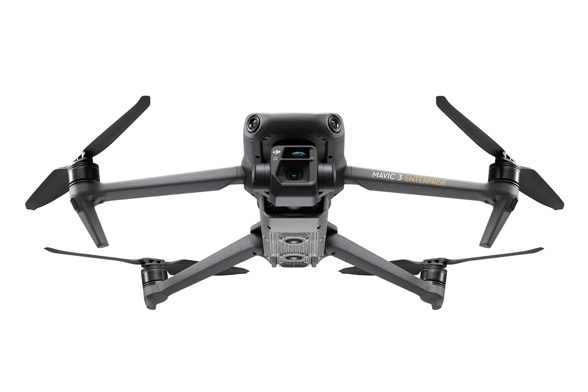
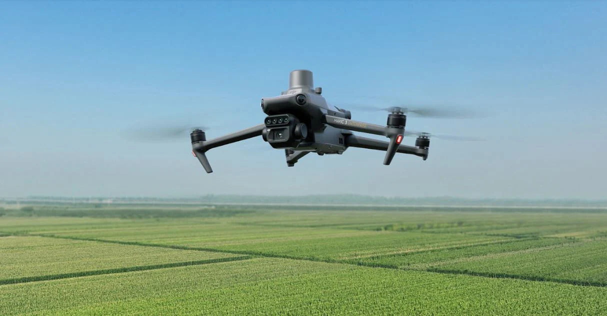
Omnidirectional obstacle sensing, terrain-follow aerial surveying
The aircraft features multiple wide-FOV vision sensors that accurately detect obstacles in all directions for omnidirectional obstacle avoidance. The terrain-follow aerial surveying can be easily performed in steep-slope landscapes.