Aersol
XAG RealTerra 2 (CN)
XAG RealTerra 2 (CN)
Couldn't load pickup availability
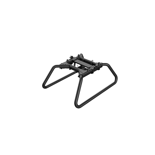
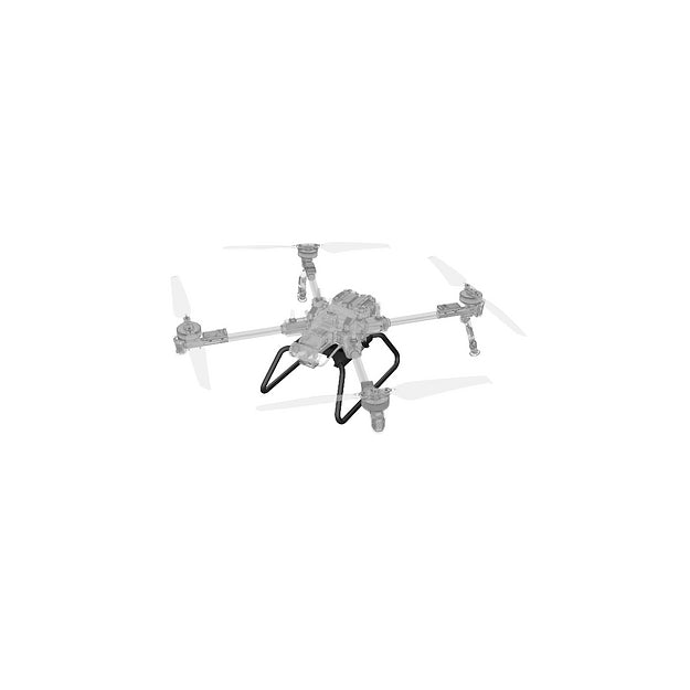
Enhance your field management with the XAG RealTerra 2 (CN), a cutting-edge drone designed for real-time mapping and 3D terrain modeling. Perfect for small agricultural projects like fruit orchards, vineyards, pastures, and plot trials, this drone captures detailed data and sends it back to the XAG 1 app, allowing you to visualize and analyze field conditions on the go. Ideal for farmers and agronomists who need precise, actionable insights without the need for large-scale surveys.
Key Features:
- Easy Attachment: Attaches just like the spreader or sprayer modules, making setup quick and hassle-free.
- Real-Time Mapping: The built-in camera collects data as you fly, sending it instantly to the XAG 1 app for immediate analysis.
- Best for Small-Scale Projects: Designed for use in smaller fields, ideal for fruit orchards, vineyards, pastures, and plot trials. Not recommended for large surveys (80-160 acres).
- 3D Terrain Modeling: Create accurate 3D models of your terrain for better decision-making and field management.
The XAG RealTerra 2 (CN) is the perfect solution for mapping and modeling your fields with precision. Whether you're managing orchards or conducting plot trials, this drone delivers valuable data to help optimize your agricultural practices.


